CONFERENCE
The first digital map and a detailed geographical database of Riga city
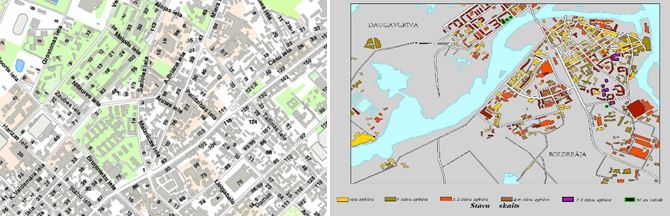
Since 1995 the Department has developed several digital maps and geographical databases of Riga city. For the early digital maps, paper maps at the scale of 1:10 000 were used as the initial data source. Later they were replaced by maps at the scale of 1:2000. The information extracted from paper maps has been systematically updated from on-site surveys, arial photographs and construction documentation. The latest digital map of Riga at scale 1:5000 is rich with wide geographical database. The updating of digital maps is continued.